
Montavus Loop from Nant Cruy - snowshoe trail
Hard
2h45min
6.5km
Loop
+336m
-335m


1 / 7
Description
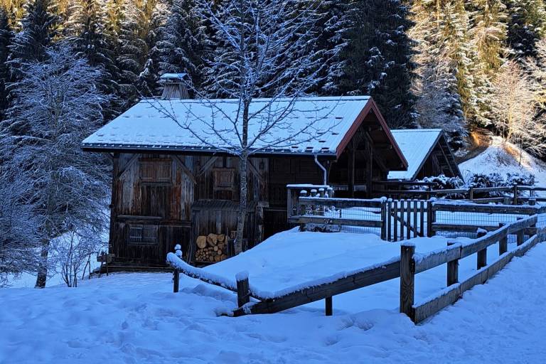
A snowshoe hike starting from the hamlet of Nant-Cruy (in the town of Sallanches, near Cordon), offering a beautiful route toward Combloux through the forest on the hills above the hamlets. Occasional views of the Aravis and the Mont Blanc massif.
A loop trail for active hikers through the forest, far from roads but close to the homes on the hillsides of the hamlets.
Marking
The Montavus Loop trail is marked with fuchsia-colored signs.
Map references
Snowshoe Trail Map
IGN Top 25 map or the "Belvédères" map from the tourist offices