
Hiking Trail: Tour des Aravis, facing Mont Blanc (4-day, 3-night trek)

Description
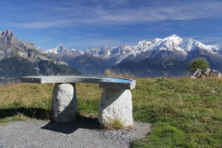
A challenging hike to unwind in the mountains with a view of Mont Blanc.
Sallanches and Cordon Tourisme offer a hiking tour consisting of four exceptional stages: 4 days / 3 nights in the Aravis Mountains.
DAY 1: Sallanches town center (550 m) - Burzier (970 m) – Doran Mountain Hut (1,495 m)
Meet in Sallanches at the SNCF train station if you’re arriving by train, or at the Rosay parking lot to leave your car. The route begins in front of the Sallanches train station. Hike up to Burzier, then on to the Doran Alpine Pasture, where you’ll find its chapel, herders, and mountain hut.
DAY 2: Doran Alpine Pasture (1,495 m) – Les Quatre-Têtes (2,364 m) – Mayères Alpine Pasture (1,563 m)
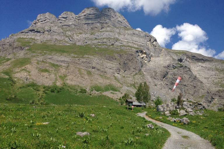
Hike up the Doran valley, at the foot of Pointe Percée, the highest peak in the Aravis massif. At the Col de Doran, make a round trip to the summit of Les Quatre-Têtes, then descend via Lanchéron toward the Mayères Alpine Pasture and its helipad. Overnight at the Tornieux mountain hut.
For a shorter route! Head to Mayères via the Arête des Saix (1,851 m)
without going through the Quatre-Têtes.
DAY 3: Mayères Alpine Pasture (1,563 m) – Col de Niard (1,801 m) – Plateau des Bénés (1,723 m) – Tête Noire (1,691 m) – Village of Cordon (870 m)
A scenic trail at the foot of the Cascade des Fours, leading up the Coeur Valley. Meet the alpine herders before reaching the Col de Niard and then the Cabane du Petit Pâtre. Cross the Plateau des Bénés, then descend to the village of Cordon. Stop at Abérieux to visit the farm and watch the milking (not before 5:30 p.m.). Choose your lodging from one of the bed-and-breakfasts or hotels in the village or on the hills above it.
For an extra challenge! Hike up the Vallée des Fours instead of the Vallée de Coeur, and join the Gouille des Fours trail by descending via the Col de Portette.
DAY 4: Village of Cordon (870 m) – Petit Croisse-Baulet via the Roman Milestones (2,009 m) Sallanches Town Center (550 m)
Hike up to the Col de l’Avenaz, then, via the Roman Milestones Trail, head to the Petit Croisse-Baulet and the Col de Jaillet, which connects the towns of Cordon, Sallanches, Combloux, and La Giettaz. Descend via the Forest Discovery Trail to Lezaive, where you’ll cross to the right bank of the stream to reach Nant Cruy. Return to downtown
Sallanches via the Bois de Fessy trail.
Want to go further? From the Col de l’Avenaz, take a round trip to the “Grand” Croisse-Baulet (2,236 m).
For a shorter hike! Complete the entire Forest Discovery Trail loop (1,400 m) and take the descent route right away.
Day 2: The summit of the Quatre Têtes is exposed and may be daunting for those who are prone to vertigo
Marking
Beige hiking signs that do not say "Tour des Aravis," but rather list the locations along the route.
Map references
IGN Map 3430ET - LA CLUSAZ LE GRAND-BORNAND
1:25,000 hiking map "Belvédères du Mont-Blanc," available at tourist information offices for €7.