
Croix de Tête Noire - Snowshoe Trail

Description
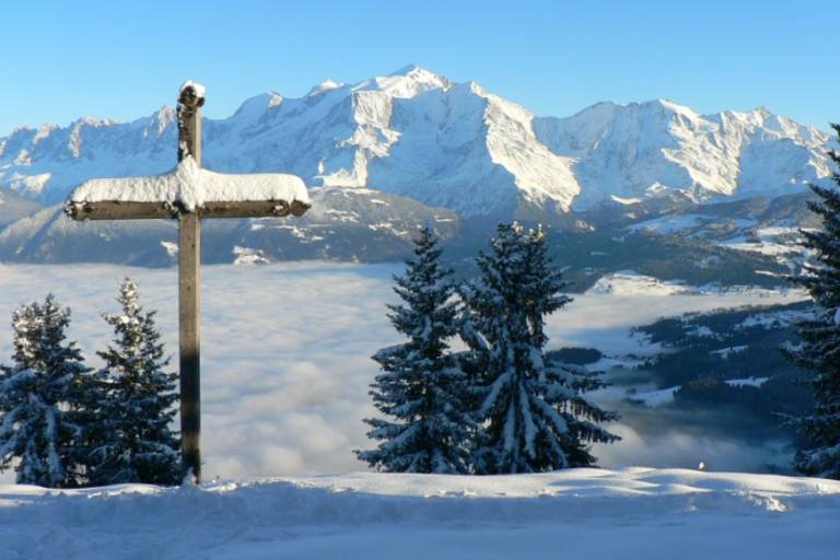
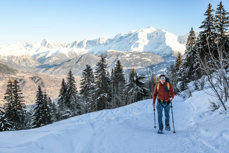
A snowshoe hike to the Croix de Tête Noire, which offers a splendid view of the Mont Blanc massif and the entire valley.
This hike can be extended toward the Bénés Plateau.
Starting from Le Péray, this fairly steep and shaded trail leads to one of the most beautiful viewpoints in Cordon.
Surrounded by typical alpine chalets, a 360° panorama takes in the Mont Blanc, Aravis, and Fiz mountain ranges.
You can continue beyond this point onto the Bénés Plateau, which features gentle, very pleasant terrain but is unmarked; this hike can be enjoyed through spring.
Marking
The trail to the Croix de Tête Noire is marked with fuchsia-colored signs. Please note: if you want to go all the way to the Plateau des Bénés, the trail is not marked.
Map references
Snowshoe Trail Map
IGN Top 25 map or the "Belvédères" map from the tourist offices