
Boucle des Granges - Snowshoe Trail
Medium
2h15min
2.9km
Loop
+174m
-176m

1 / 6
Description
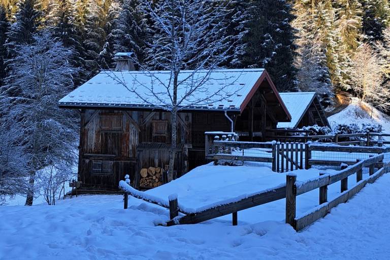
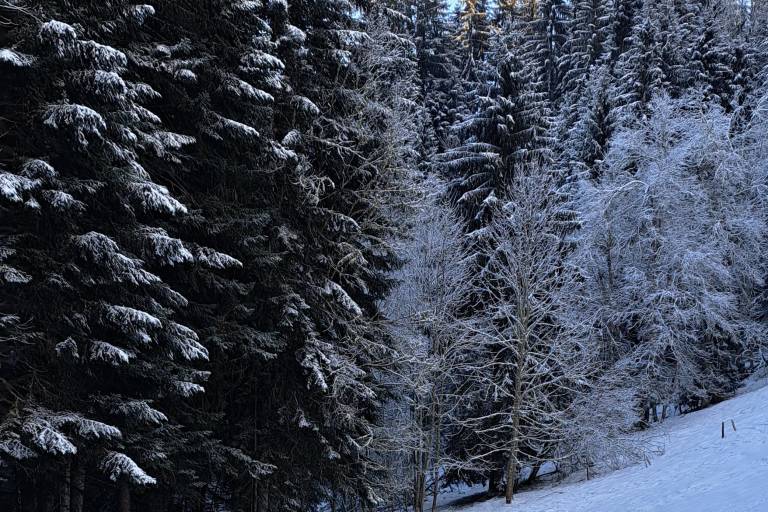
A snowshoe hike starting from the hamlet of Nant-Cruy (in the town of Sallanches, near Cordon) that takes you on a beautiful loop through the forest, continuing through the hills above Nant-Cruy and Combloux. Occasional views of the Aravis and the Mont Blanc massif.
A loop trail for experienced hikers, through the forest and over the hills surrounding the hamlets. A trail surrounded by nature, far from the roads.
Marking
The Boucle des Granges trail is marked with fuchsia-colored signs.
Map references
Snowshoe Trail Map
IGN Top 25 map or the "Belvédères" map from the tourist offices